We've actually been home for 5 days now so I guess it's time we got some closure on this trip. It's amazing how much stuff you accumulate on a boat in 5 years, but it was clear when we started moving things from the boat to the condo just how much it can be. We only had about 6 extra inches of vertical clearance when we pulled in to the slip. After all we've unloaded, we may not be able to get out!
Anyhow, back to the last leg from Florence to our home at Bay Hill. By the way, we have new marina owners now and they have changed the name to Lucy's Branch Marina, so I guess I better get with the program and change with them - Bay Hill is now Lucy's Branch. That was the name of it originally in reference to "Lucy," a local resident who used to come down to the "branch" and bathe. There is a historical marker on site on her behalf. She was born Lucy Bedingfield, daughter of a slave and a Cherokee Indian. She bought 107 acres in 1888 and was known for her story-telling abilities. She sold the property to the TVA in 1935 and relocated to Oklahoma where she died and was buried.
The trip from Florence was only 30 miles and pretty uneventful except for two locks, Wilson and Wheeler. Wilson is pretty cool in that it is the third biggest lock drop/rise in the world - 93 feet. Here's the approach and inside the lock.


Each section of the wall is a 5-foot rise.

Each section of the river between 2 locks is considered a "lake" and is named as such. The lake between Wilson Lock and Wheeler Lock is Wilson Lake. It's a short distance of only about 14 miles and is wide open water. We had a short delay for a barge and another small boat exiting Wheeler Lock.

.
They were using the alternate chamber on the right that morning which is a lot smaller than the primary.

Here's another way to know you are in the south. We say "Please" a lot down here. Sort of like the signs in Georgia if you recall them.

There was quite a group of sea gulls hanging out on the exit lock wall.

After exiting the lock and looking back at the dam, you wonder why they left this one little section just a little bit vulnerable to those not paying attention. The tree tops are actually in the distance and a lot lower also!

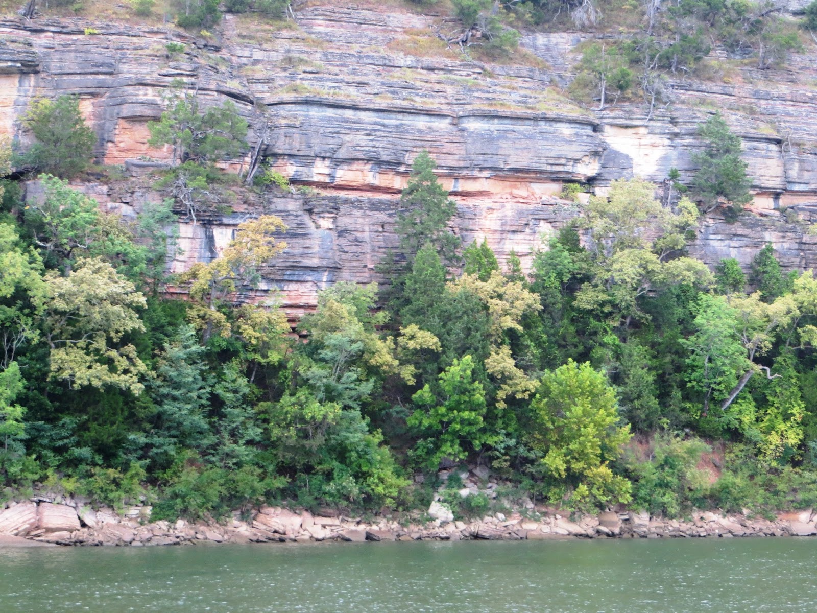
After about another 7 miles, we rounded the final bend in the river and could see Lucy's Branch in the distance on the left. It's a beautiful section of the river about 3 miles wide. It sits in a bend of the river with a nice view down the river about 5 miles to the southwest and 8 miles up the river to the southeast. All of the water is about 25 feet deep and no shallow spots to worry about.

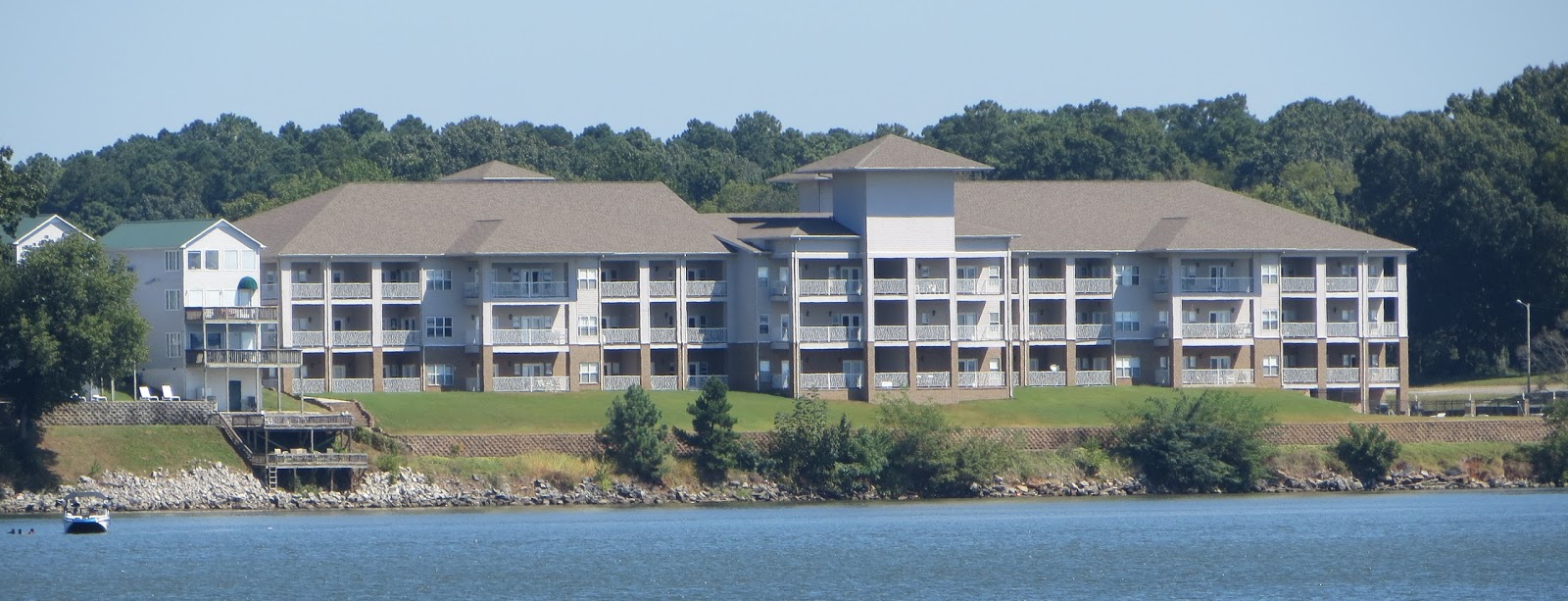
This is home for us at Bay Pointe Condominiums. The condo has been a new experience - we've always had single family homes before this. The condo is not our preference but it works out for lots of travel since the HOA takes care of the grounds and property, and the marina slips are only a few hundred feet away. We were fortunate to have our younger son Scott live in it while we have been on the boat trip. It provided him with with a nice bachelor pad for a few years, he paid us some rent each month, and it provided us with the peace of knowing all was OK and maintained while we were gone. Before we returned home, he built his first home and moved in about 3 weeks before we returned. Good job, Scott! We got to visit his place last night and it's very nice.
I guess I'll just have to be content looking out across the river for a while. Hey, at least the view ain't so bad from the condo. I need to get me a telescope so I can read the names of the boats passing by and hail them on the radio and find out where they are from and where they're headed!


We had to get a different dock slip than the one we had before the trip. The Gulfstar is a lot taller than the Roughwater we left in. Here are the two boats in their slips - both boats served us well with only a couple of minor service issues that we were able to fix ourselves.


For fellow Loopers and other cruisers reading the blog, you may be interested in this idea - it's not an original idea of mine, saw it somewhere else but it is a great tool for documenting your travels. One of the greatest parts of the trip is reflecting on all the places we traveled, so we've taken the Great Loop map that AGLCA has available and marked every stop we made with colored straight pins. You can develop whatever color scheme you want of course, but here's ours.
Red - marina stops on our Great Loop route.
White - marina stops on Loop side trips or other trips.
Green - anchorages on any trip.
Yellow - other overnight stops such as docked at locks, barges, friends' homes, etc..
So, as you look at our map, we started our Loop trip at mm 287 of the TN River, headed downstream to a left turn on the Ohio River, left on the Mississippi River, side trip up the Arkansas River and back, right on the Mississippi River, right on the Atchafalaya River to Morgan City, LA, right on the Gulf Coast ICW for a side trip to Corpus Christi and back to Morgan City to rejoin the Loop route along the Gulf Coast, crossed the Okeechobee Waterway, side trip south down Florida's coast to Ft. Lauderdale (and we had covered the Florida Keys previously, also noted in white), back up the Florida Coast northbound to Jacksonville, FL, side trip up the St. John's River and back to Jacksonville, up the Atlantic Coast to New York City, up the Hudson River, left on the Erie Canal, right on the Oswego Canal, across Lake Ontario, through Canada via the Trent-Severn Waterway/Georgian Bay/North Channel, down Lake Michigan and across to Chicago, down the Illinois and Mississippi Rivers, crossed our wake at the left turn back on to the Ohio River, then the Tennessee River back home. The other trips noted in white are the Tenn-Tom Waterway and the rest of the Tennessee River from our home to Knoxville and the Little Tennessee River. Hope all that made sense.
It's pretty amazing how the details of each stop are still very clear in our memories. The pins on the map just sort it all out, makes it easier to recall the routes and the stops, and kind of puts into perspective what a big deal this is!

We've been super busy getting settled in the condo and it's a little weird to be on land full-time all of a sudden after so long on the water. It's also a little strange driving a car! Anyhow, that's it for now. I'm not too discouraged - Rhonda recently asked me, "We're going to take a fall boat trip somewhere aren't we?" That was good to hear. Also, I'm working up some closing thoughts that I'll post when I get them all worked out. In the meantime, thanks again for traveling with us. We wish everyone the best. Stay safe and keep in touch.
I believe this is still my favorite picture of the trip and I'll close with it. We were traveling down the Arkansas River and leaving Ft. Smith with a bit of early morning fog just as the sun was rising above the bridge. Our friends, Clint and Linda Bulkley, were traveling with us in their Silverton and got the shot of the Roughwater. Lots of memories that we will cherish for a long long time.